North Saskatchewan River (Edmonton) - Edmonton, Alberta, Canada[edit | edit source]
Places & Things > Places > Canada > Edmonton, Alberta > North Saskatchewan River (Edmonton)
[edit | edit source]
My short words
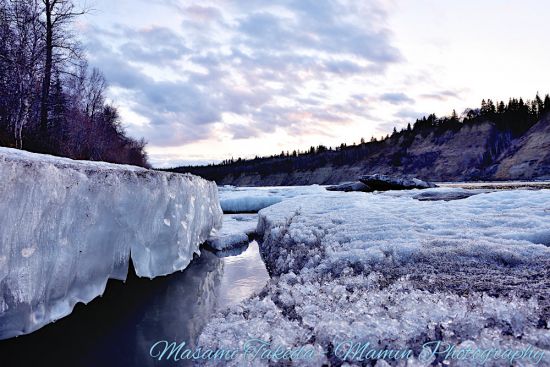
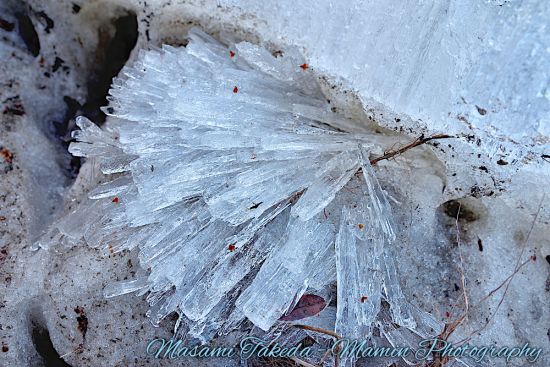
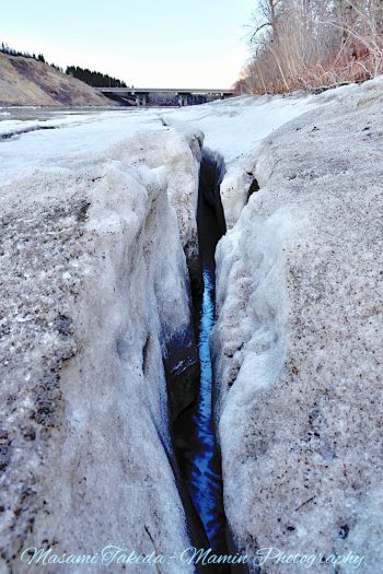
Just... Just the ice could talk about the beauty of nature.
I was looking at the spectacular winter river scene.
And the spring came here that the melting ice told. :)
Memo[edit | edit source]
- The North Saskatchewan River
- The North Saskatchewan River is from Canadian Rockies to central Saskatchewan to connect to the Saskatchewan River.
- Length 1,287 km (800 mi).
- The river is providing the electricity (by the hydroelectric power plants) and the tap water to the residents.
- The Saskatchewan River (Cree: kisiskāciwani-sīpiy, Plains Cree Syllabics: ᑭᓯᐢᑳᒋᐘᓂᓰᐱᐩ)
- The Saskatchewan River is a major river in Canada.
- The river name is from the Cree word "kisiskāciwani-sīpiy (ᑭᓯᐢᑳᒋᐘᓂᓰᐱᐩ)" that means "swift flowing river".
- From the Rocky Mountains headwaters to Cedar Lake in central Manitoba.
- Length 547 km (340 mi). It reaches 1,939 km (1,205 mi) if we think that it includes the Bow River.
(Reference: The Canadian Encyclopedia, wikipedia.org)
[edit | edit source]
| Data | |
|---|---|
| Place name: | North Saskatchewan River (River Loop Trail) |
| Place: | North Saskatchewan River beside River Loop Trail, Edmonton, Alberta, Canada |
| Date taken: | Photo 1: April 18, 2021, 20:30 Photo 2: April 18, 2021, 20:13 Photo 3: April 18, 2021, 20:19 |
References[edit | edit source]
- City of Edmonton official page - North Saskatchewan River
- EPCOR - From River to Tap: Answering Your Water Questions
- The Canadian Encyclopedia Saskatchewan River
- Wikipedia.org - Saskatchewan River
- Wikipedia.org - North Saskatchewan River


